Geography is not only about mountains, rivers, and countries. Some of the most important geographical features that shape global trade, political power, and strategic control are narrow water passages, land bridges, and landforms surrounded by water. Concepts such as straits, isthmuses, peninsulas, and islands play a crucial role in international trade routes, naval strategy, and geopolitical relations.
Thank you for reading this post, don’t forget to subscribe!From the Strait of Hormuz, through which a significant share of the world’s oil passes, to the Isthmus of Panama, which connects North and South America and hosts the famous Panama Canal, these geographical features have shaped history, commerce, and international politics.
This blog explains these key geographical concepts and highlights the most important straits and isthmuses that influence global trade and geopolitics.
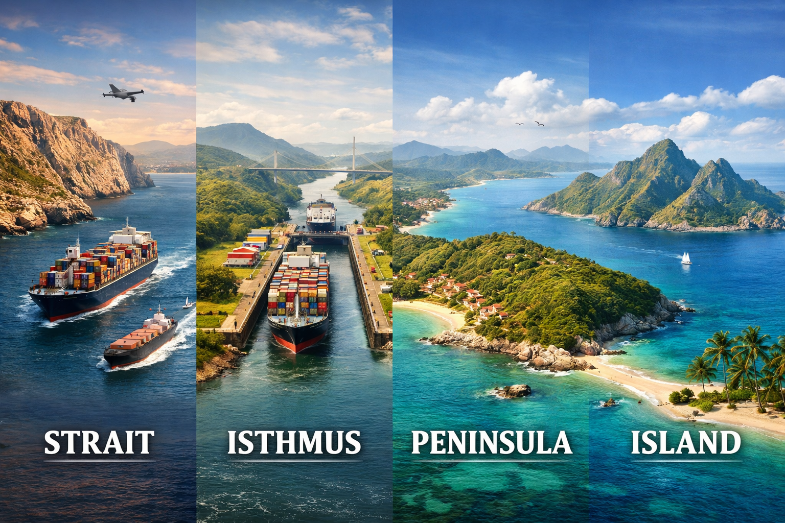
1. What is a Strait?
A strait is a narrow natural waterway that connects two larger bodies of water and separates two land masses.
Straits are extremely important for global shipping routes, because they provide the shortest maritime passages between oceans and seas.
Key Characteristics of a Strait
- Narrow water passage
- Connects two seas or oceans
- Separates two land masses
- Often strategically controlled by nearby countries
Example
The Strait of Gibraltar connects the Atlantic Ocean with the Mediterranean Sea, separating Spain and Morocco.
Because many straits are narrow, control over them can influence global trade and military movement.
Major Strategic Straits of the World
1. Strait of Hormuz
- Location: Between Iran and Oman
- Connects Persian Gulf to Arabian Sea
- Around 20% of global oil trade passes through it.
- A major geopolitical flashpoint in Middle East tensions.
2. Strait of Malacca
- Located between Malaysia, Indonesia, and Singapore
- Connects the Indian Ocean with the Pacific Ocean
- One of the busiest shipping lanes in the world.
3. Bab el-Mandeb Strait
- Between Yemen and Djibouti
- Connects Red Sea to the Gulf of Aden
- Crucial for ships traveling through the Suez Canal.
4. Strait of Gibraltar
- Connects Atlantic Ocean and Mediterranean Sea
- Strategic naval gateway between Europe and Africa.
5. Bosporus Strait
- Located in Istanbul, Turkey
- Connects the Black Sea to the Sea of Marmara.
6. Bering Strait
- Separates Russia and United States
- Connects the Arctic Ocean and Pacific Ocean.
2. What is an Isthmus?
An isthmus is a narrow strip of land connecting two larger land masses and separating two bodies of water.
It acts like a natural land bridge between continents or regions.
Key Characteristics
- Narrow land strip
- Connects two larger land areas
- Separates two water bodies
Example
The Isthmus of Panama connects North America and South America.
Major Isthmuses of the World
1. Isthmus of Panama
- Connects North and South America
- Site of the Panama Canal
- One of the most important maritime shortcuts in the world.
2. Isthmus of Suez
- Located in Egypt
- Connects Africa and Asia
- Location of the Suez Canal.
3. Isthmus of Kra
- Located in Thailand
- Potential site of a future canal project linking the Andaman Sea and Gulf of Thailand.
4. Isthmus of Tehuantepec
- Located in Mexico
- Narrowest part of Mexico between the Pacific Ocean and Gulf of Mexico.
3. What is a Peninsula?
A peninsula is a piece of land surrounded by water on three sides but connected to the mainland on one side.
Key Characteristics
- Surrounded by water on three sides
- Connected to mainland on one side
Famous Examples
- Arabian Peninsula – largest peninsula in the world
- Indian Peninsula – surrounded by Arabian Sea, Bay of Bengal, and Indian Ocean
- Iberian Peninsula – includes Spain and Portugal
- Korean Peninsula – includes North Korea and South Korea
Peninsulas are often centres of civilization and trade because they provide access to sea routes.
4. What is an Island?
An island is a piece of land completely surrounded by water.
Islands vary in size from small uninhabited landforms to large countries.
Types of Islands
- Continental islands
- Volcanic islands
- Coral islands
Examples
- Australia – considered the largest island continent
- Japan – an island nation in East Asia
- Sri Lanka – located near India
- Iceland – volcanic island in the North Atlantic.
Why These Geographical Features Matter in Global Trade and Geopolitics
These landforms are not just geographical terms. They shape global power and economic systems.
1. Control of Trade Routes
Straits like the Strait of Malacca and Strait of Hormuz handle a massive share of world shipping.
2. Strategic Military Importance
Countries often deploy naval forces near important straits.
3. Energy Security
Oil shipments depend on chokepoints such as:
- Bab el-Mandeb Strait
- Strait of Hormuz
4. Canal Construction
Isthmuses have allowed humans to build canals that transform global trade, such as:
- Suez Canal
- Panama Canal
These canals reduce shipping distance by thousands of kilometres.
Conclusion
Understanding geographical features such as straits, isthmuses, peninsulas, and islands helps us understand the geopolitical and economic dynamics of the modern world.
Many of the world’s most important trade routes pass through narrow straits or canals built across strategic isthmuses. Control over these locations often determines economic advantage, naval dominance, and political influence.
In the era of globalization, these geographical chokepoints continue to shape international relations, maritime trade, and energy security.
Leave a Reply